


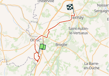

8.2 km | 9.1 km-effort


User


FREE GPS app for hiking
 SityTrail
IGN / Geographical institutes
SityTrail World
The world is yours!
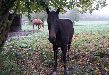
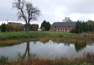
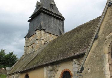
Trail Walking of 36 km to be discovered at Normandy, Calvados, La Folletière-Abenon. This trail is proposed by werth.
très joli parcours
Walking

Walking
Walking

Walking
Walking

Walking
Walking
Walking
Cycle